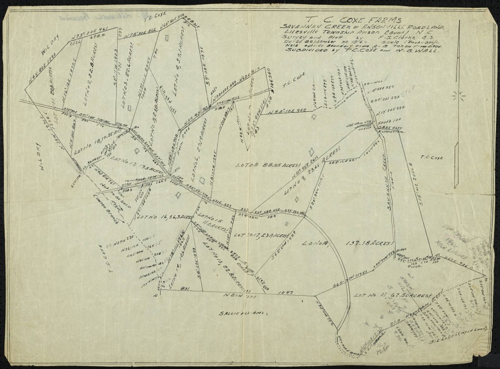
T.C. Coxe Farms – September 30, 1947
In October 2014, we published 48 maps from the 1940s through the early 1970s that are held by the library at South Piedmont Community College in Polkton, N.C.
We have now added 30 more maps from the same date range. As before, the majority of the maps detail the boundaries of specific properties, including factories, churches, cemeteries, and farms.
These maps join the over 150 maps available from various institutions on DigitalNC.