Early 20th Century Winston-Salem Maps Now Available

Title page for the 1912 Sanborn insurance map of Winston-Salem, North Carolina.

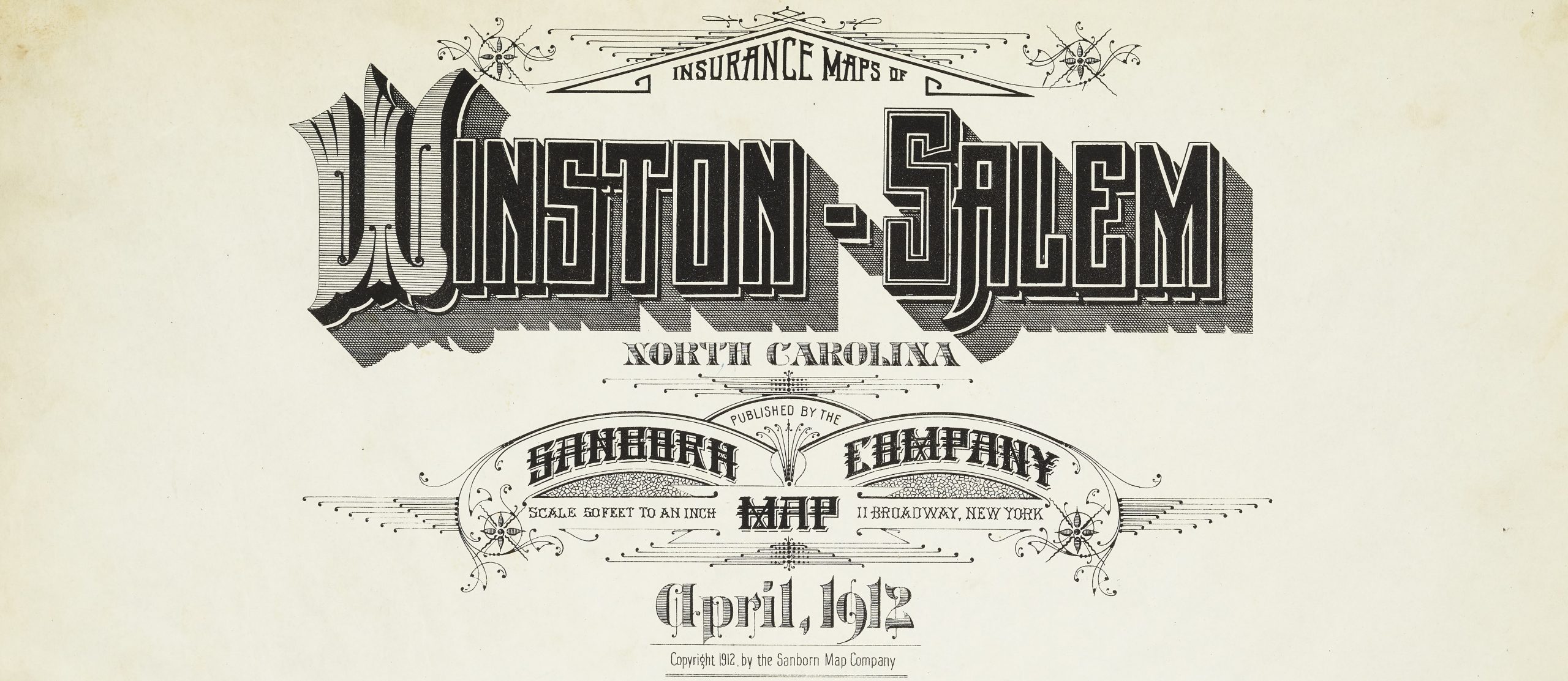
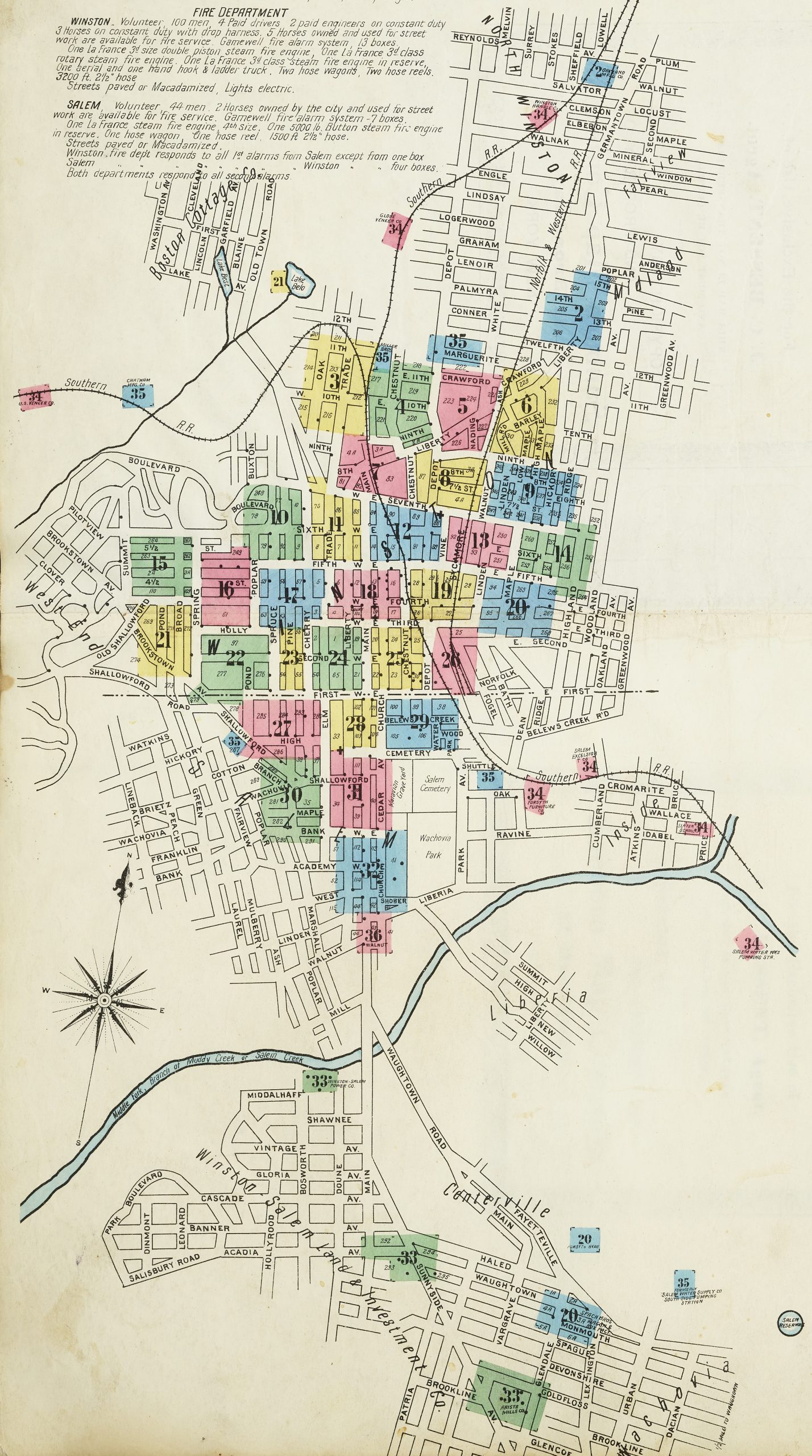
Thanks to our partner, Forsyth County Public Library, a batch containing five Sanborn insurance maps of Winston-Salem, N.C. from 1907 to 1928 are now available on our website. These beautifully colored and meticulously marked maps are a fantastic resource for those looking to research the urban development of Winston-Salem.

To learn more about Forsyth County Public Library, please visit their website.

To view more maps from around North Carolina, please click here.


Discuss this Post

DigitalNC Blog Header Image

About

This blog is maintained by the staff of the North Carolina Digital Heritage Center and features the latest news and highlights from the collections at DigitalNC, an online library of primary sources from organizations across North Carolina.

Social Media Policy

Search the Blog

Archives

Subscribe

Email subscribers can choose to receive a daily, weekly, or monthly email digest of news and features from the blog.

Newsletter Frequency
RSS Feed