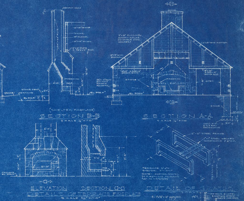
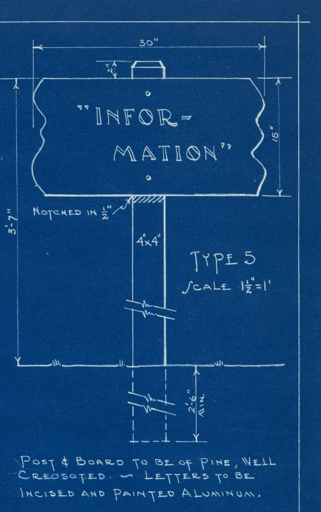
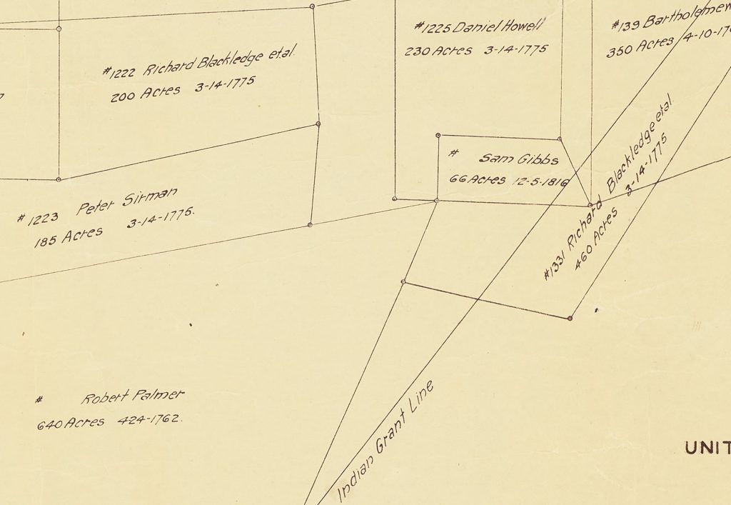
Thanks to our newest partner, William B. Umstead State Park (WBU), a batch containing over 150 new records are now available on DigitalNC. This batch holds a wealth of William B. Umstead State Park’s history featuring everything from plats, detailed construction plans of the park during the Great Depression when the Civilian Conservation Corps (CCC) was active, blueprints of a swimming pool, plans for the segregated park areas, plant information, planting schedules, and much more. One of many fascinating finds in this batch was the mention of the Camp Polk Prison Farm (also referred to as Cary Farm) on an ownership map of what would become the Crabtree Creek Recreational Area (now WBU) and the CCC era building plans.
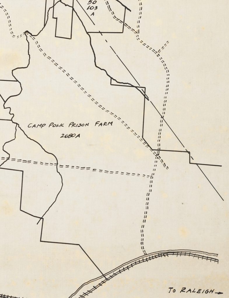


In 1920, the Central Prison bought the former World War I tank training facility site and converted it into the Camp Polk Prison Farm. Totaling around 2,700 acres, the farm was equipped with livestock, modern farm equipment and machinery, cotton gin, dairy, saw mill, along with a modern fireproof brick and steel dormitory built using prison labor.
According to the November 1928 issue of Prison News, Camp Polk Prison Farm was set aside as a juvenile farm for white male prisoners under 21 to separate them from the older, seasoned criminals. However, not all prisoners under 21 were automatically qualified to be placed at Camp Polk farm. Mr. Pou, superintendent of the state’s prison at the time, notes only individuals who showed adaptability and “a readiness to deserve the favors tendered.” While at the farm the prisoners were required to work doing farm cropping, clearing new lands, canning, running the diary, and other tasks. Prisoners were also given the opportunity to receive instruction at night from individuals who were noted as educated and/or “capable honor grade” prisoners.
By 1927 the farm was a very profitable investment for the Central Prison. The September 1927 issue of Prison News, reported that the prison camp was “producing a great portion of its meats and food stuffs as well as supplying the Central Prison and the camps in part with fresh vegetables […]” and was “reputed to be worth by capable authorities easily over a half million dollars more than its cost to the State seven years ago, and has proved one of the best investments the State every made.”
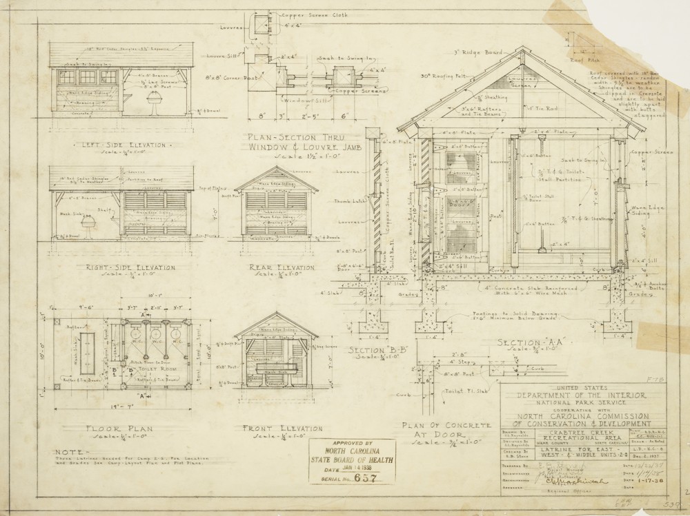
Working collaboratively, state and federal agencies purchased 5,000 acres of land which included the Camp Polk Prison Camp under the federal Farm Resettlement Administration to develop a recreation area in 1934. The Crabtree Creek Recreational Area (now WBU) project provided jobs to individuals through the CCC and Works Progress Administration. Three years after the purchase of land, in 1937, the park opened with four camps along with day-use and picnic facilities. Plans and maps of the area and buildings during this period are present in this batch, including the latrine plans for the east, west, and middle units in Camp 2-G seen above.
In 1943, North Carolina bought the recreational area from the federal government for $1 and it was renamed to Crabtree Creek State Park. Although the park was not officially segregated up to this point, it was established that there were two separate entrance for white and Black individuals. In April 1950, however, the State of North Carolina officially segregated the park after converting 1,234 acres in the southern section into a Black park which was named Reedy Creek State Park. The white park retained the Crabtree Creek State Park name until 1955 when it was changed to William B. Umstead State Park. In the early 1960s, the parks were desegregated and eventually recombined in 1966 to form under the name William B. Umstead State Park. However, the impression of racial segregation can still be seen today with the park’s two separate entrances.
To learn more about William B. Umstead State Park, visit their website here.
To view more maps of North Carolina available on DigitalNC, click here.
Information on the World War I Camp Polk Tank Training Facility was gathered from the NCSU Special Collections and the State Archives Military Collections.
Information on the history of William B. Umstead State Park was gathered from the following NCPedia entries: Crabtree Creek State Park, Reedy Creek State Park, and William B. Umstead State Park.
Information about Camp Polk Prison Camp was gathered from issues of Prison News, which is available through the State Archives of North Carolina’s Digital Collections.
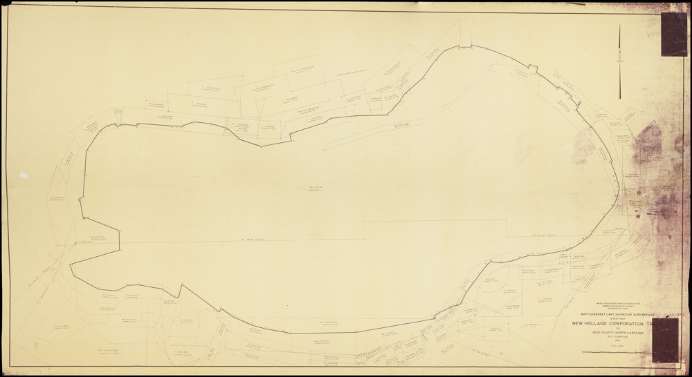
![Map title and associated information. United States Department of Agriculture Bureau of Biologial Survey. Jay. N. Darling. Chief.
Mattamuskeet Lake Migratory Bird Refuge Grant Map.
New Holland Corporation Tr[?].
(3)
Hyde County. North Carolina.
R.C.F. Surveyor.
1934.
Scale 1:15,840
[Bar for scale]](https://www.digitalnc.org/wp-content/uploads/2023/11/default-1-1-1024x623.jpg)